This section offers a series of dashboards, oriented primarily to an expert audience, presenting data reported by Member States as required for the implementation of the Marine Strategy Framework Directive (MSFD). In particular, results on the degree to which countries achieve Good Environmental Status (GES) are presented in a dynamic format, allowing users to explore, use and download data and figures in a variety of ways. The data have been reported in a standardised format and are displayed as presented by the Member States, without further processing.
The Marine Strategy Framework Directive (MSFD) has several reporting obligations through which the EU Member States have to inform the European Commission on the implementation of different Articles of the Directive. The data presented here were submitted by Countries via the Central Data Repository of the Eionet portal or via Reportnet 3 , the new e-reporting platform for reporting environmental and climate data to the EEA. The data were quality controlled and imported into a central database hosted by the European Environment Agency and later reused for analysis and assessment purposes. This MSFD data explorer offers a series of interfaces to explore and filter all the data reported under the different MSFD Articles reported by Member States from 2012 up to the present date. The data is also available for download.
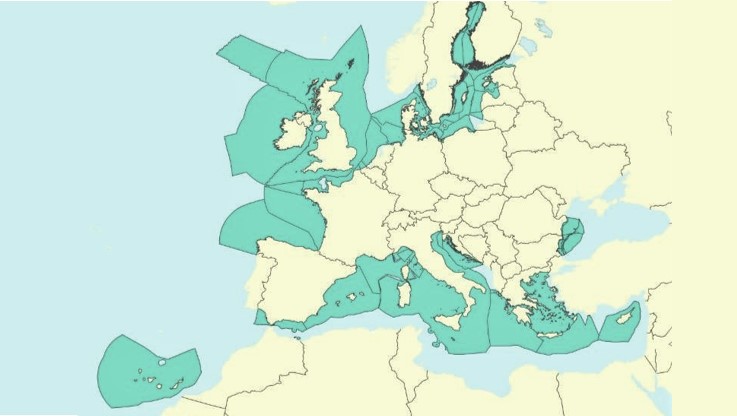
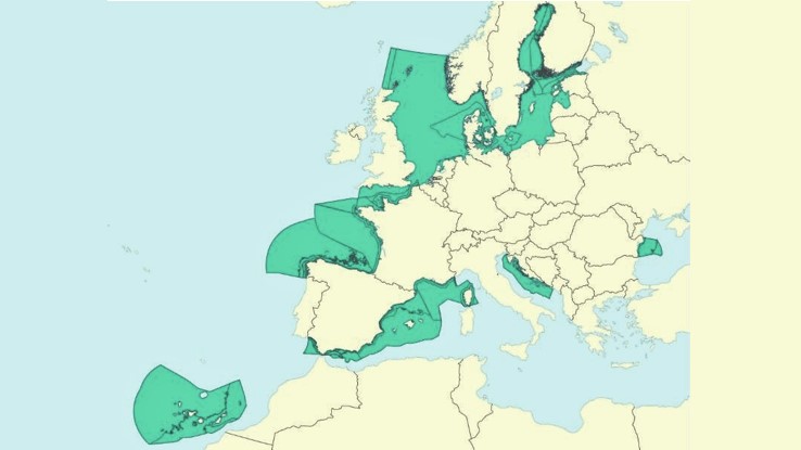
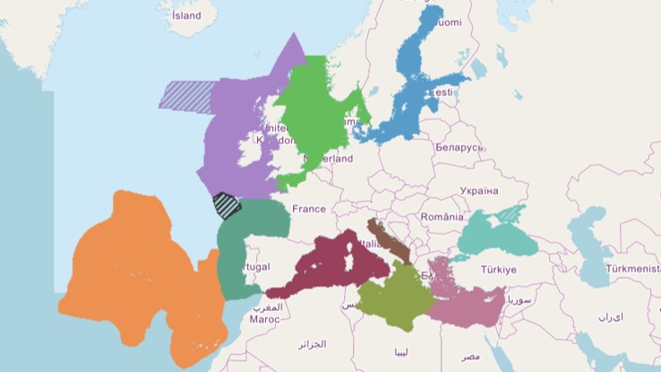
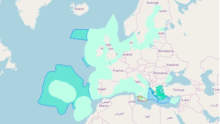
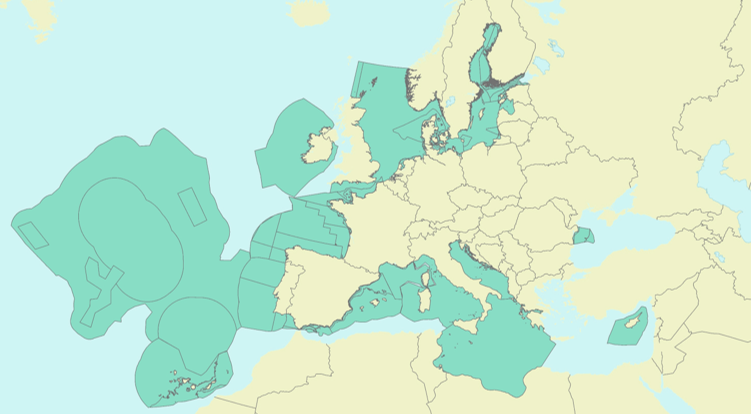
The present section makes available data and metadata of spatial datasets related with the Marine Strategy Framework Directive (MSFD) implementation, such as the marine regions and subregions, the national marine waters and the Marine Reporting Unit (MRU) provided by Member States and that represent the marine assessment areas requested by the Directive and linked to its Articles. This section offers also other spatial datasets, elaborated by the European Environment Agency (EEA) and the European Topic Centre (ETC) for statistical purposes and based on the above MSFD data.

 MSFD expert dashboards